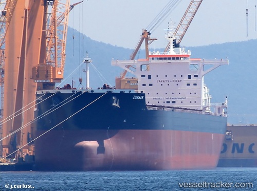
 ZORBAS
Current Status
Where is the vessel?
ZORBAS is currently in 98 nm NW of Biringkassi, based on AIS data received about 14h ago.
Latest AIS update:
Current position: 4.18159° S, 117.97961° E (98 nm NW of Biringkassi)
Average speed (last 7 days): Loading…
Average speed (last 30 days): Loading…
Vessel profile: ZORBAS is a Bulk Carrier with dimensions m x m.
This page combines live AIS, route history, probable destination signals, nearby traffic, and port activity for practical vessel monitoring.
The current position of vessel ZORBAS is -4.18159 lat / 117.97961 lng. Updated: 2026-05-22 21:52:51 UTCNearest reference points:
- 117 nm W of Panakukang
- 12 nm W of Panakukang
- Near Panakukang
Currently sailing under the flag of Malta ![]()
Details:
Live Vessel ZORBAS Analytics (details, animations, etc.)
Recent AIS points (UTC):
2026-05-22 19:29:56 UTC · -4.55500, 117.73667 · SOG 11 kn · COG -1°2026-05-22 19:29:56 UTC · -4.55500, 117.73667 · SOG 11 kn · COG -1°
2026-05-22 21:22:52 UTC · -4.26072, 117.93290 · SOG 10.9 kn · COG 32°
2026-05-22 21:52:51 UTC · -4.18159, 117.97961 · SOG 11 kn · COG 26°