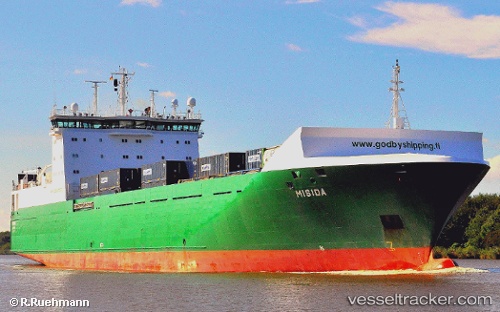
 TRANS HAV
Current Status
Where is the vessel?
TRANS HAV is currently in 20 nm SW of Claonaig, based on AIS data received about 15h ago.
Latest AIS update:
Current position: 55.48167° N, 5.04333° E (20 nm SW of Claonaig)
Average speed (last 7 days): Loading…
Average speed (last 30 days): Loading…
Vessel profile: TRANS HAV is a Ro-Ro Cargo with dimensions m x m.
This page combines live AIS, route history, probable destination signals, nearby traffic, and port activity for practical vessel monitoring.
The current position of vessel TRANS HAV is 55.48167 lat / 5.04333 lng. Updated: 2026-05-21 09:32:31 UTCNearest reference points:
- 14 nm NW of Town Quays/Drogheda
- 26 nm W of Cleghorn
- 36 nm W of HVIDE SANDE
Currently sailing under the flag of Malta ![]()
Details:
Live Vessel TRANS HAV Analytics (details, animations, etc.)
Recent AIS points (UTC):
2026-05-21 05:53:19 UTC · 56.27167, 5.10667 · SOG 13 kn · COG -1°2026-05-21 07:08:23 UTC · 55.99333, 5.10833 · SOG 13 kn · COG -1°
2026-05-21 07:47:24 UTC · 55.85333, 5.10500 · SOG 13 kn · COG -1°
2026-05-21 09:32:31 UTC · 55.48167, 5.04333 · SOG 13 kn · COG -1°