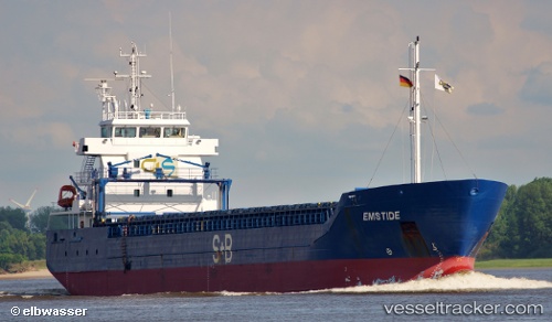
Estemar
Current StatusWhere is the vessel?
Estemar is currently in Near Oxelosund, based on AIS data received about 14h ago.
Latest AIS update:
Current position: 58.66390° N, 17.10851° E (Near Oxelosund)
Average speed (last 7 days): Loading…
Average speed (last 30 days): Loading…
Vessel profile: Estemar is a Multi Purpose Carrier with dimensions 14m x 99m.
This page combines live AIS, route history, probable destination signals, nearby traffic, and port activity for practical vessel monitoring.
The current position of vessel Estemar is 58.66390 lat / 17.10851 lng. Updated: 2026-05-23 07:59:40 UTCNearest reference points:
- Near Krokek
- Near Stora Vika
- Near SODERTALJE
Details:
Live Vessel Estemar Analytics (details, animations, etc.)
Recent AIS points (UTC):
2026-05-23 04:20:45 UTC · 58.66390, 17.10849 · SOG 0 kn · COG 145°2026-05-23 05:20:40 UTC · 58.66388, 17.10847 · SOG 0 kn · COG 143°
2026-05-23 07:41:42 UTC · 58.66390, 17.10847 · SOG 0 kn · COG 144°
2026-05-23 07:59:40 UTC · 58.66390, 17.10851 · SOG 0 kn · COG 144°