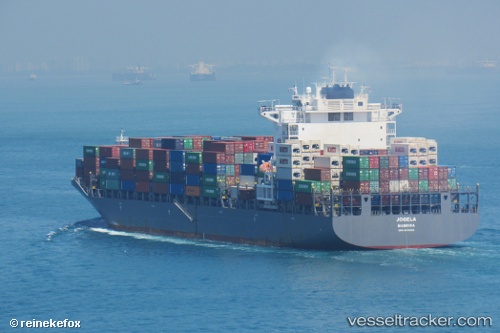
Emirates Asante
Current StatusWhere is the vessel?
Emirates Asante is currently in 197 nm NW of Webberton, based on AIS data received about 14h ago.
Latest AIS update:
Current position: 26.36552° S, 112.08418° E (197 nm NW of Webberton)
Average speed (last 7 days): Loading…
Average speed (last 30 days): Loading…
Vessel profile: Emirates Asante is a Container Ship with dimensions 37m x 255m.
This page combines live AIS, route history, probable destination signals, nearby traffic, and port activity for practical vessel monitoring.
The current position of vessel Emirates Asante is -26.36552 lat / 112.08418 lng. Updated: 2026-05-19 00:14:57 UTCNearest reference points:
- 139 nm SW of Coral Bay
Details:
Live Vessel Emirates Asante Analytics (details, animations, etc.)
Recent AIS points (UTC):
2026-05-18 19:44:02 UTC · -25.24335, 111.66406 · SOG 16.1 kn · COG 160°2026-05-18 21:57:57 UTC · -25.80434, 111.84649 · SOG 15.3 kn · COG 157°
2026-05-18 22:23:20 UTC · -25.90825, 111.88315 · SOG 15.6 kn · COG 156°
2026-05-19 00:14:57 UTC · -26.36552, 112.08418 · SOG 16.2 kn · COG 154°