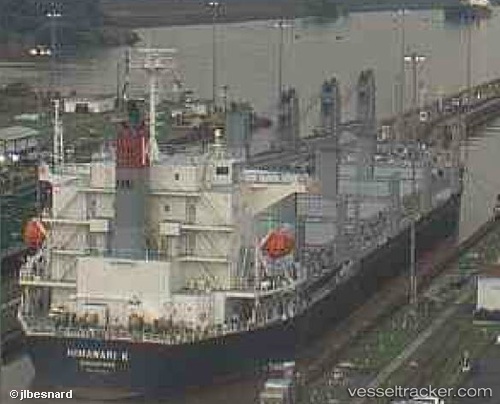
 CHRYSOULA S
Current Status
Where is the vessel?
CHRYSOULA S is currently in 98 nm SE of Port Edward, based on AIS data received about 15h ago.
Latest AIS update:
Current position: 32.41992° S, 31.27144° E (98 nm SE of Port Edward)
Average speed (last 7 days): Loading…
Average speed (last 30 days): Loading…
Vessel profile: CHRYSOULA S is a Cargo with dimensions m x m.
This page combines live AIS, route history, probable destination signals, nearby traffic, and port activity for practical vessel monitoring.
The current position of vessel CHRYSOULA S is -32.41992 lat / 31.27144 lng. Updated: 2026-05-22 23:53:49 UTCNearest reference points:
- 125 nm SE of Port Edward
- 23 nm E of Port Saint John's
- 181 nm SE of Hibberdene
Currently sailing under the flag of Portugal ![]()
Details:
Live Vessel CHRYSOULA S Analytics (details, animations, etc.)
Recent AIS points (UTC):
2026-05-22 19:55:20 UTC · -32.76527, 30.47508 · SOG 11.8 kn · COG 61°2026-05-22 21:33:28 UTC · -32.61566, 30.80694 · SOG 11.6 kn · COG 60°
2026-05-22 22:05:40 UTC · -32.56935, 30.91581 · SOG 11.4 kn · COG 60°
2026-05-22 23:53:49 UTC · -32.41992, 31.27144 · SOG 10.9 kn · COG 58°