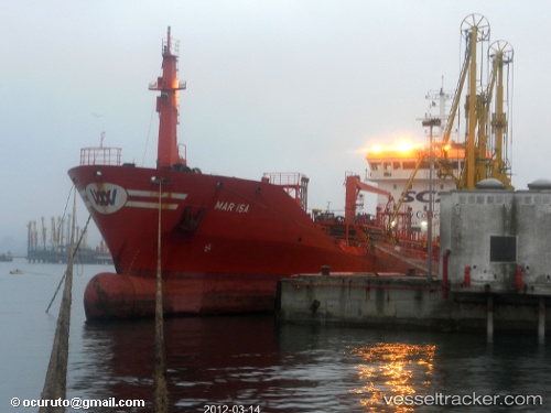
Santa Lucia
Current StatusWhere is the vessel?
Santa Lucia is currently in Near Il-Kappara, based on AIS data received about 14h ago.
Latest AIS update:
Current position: 35.87666° N, 14.74588° E (Near Il-Kappara)
Average speed (last 7 days): Loading…
Average speed (last 30 days): Loading…
Vessel profile: Santa Lucia is a Chemical Oil Products Tanker with dimensions 15m x 105m.
This page combines live AIS, route history, probable destination signals, nearby traffic, and port activity for practical vessel monitoring.
The current position of vessel Santa Lucia is 35.87666 lat / 14.74588 lng. Updated: 2026-05-20 22:01:38 UTCNearest reference points:
- 13 nm E of Il-Kappara
- Near Xghajra
- 18 nm E of Il-Kappara
Details:
Live Vessel Santa Lucia Analytics (details, animations, etc.)
Recent AIS points (UTC):
2026-05-20 15:57:58 UTC · 35.90759, 14.80276 · SOG 0 kn · COG 8°2026-05-20 17:36:25 UTC · 35.90683, 14.79426 · SOG 8.3 kn · COG 216°
2026-05-20 19:01:36 UTC · 35.87657, 14.74572 · SOG 0 kn · COG 299°
2026-05-20 22:01:38 UTC · 35.87666, 14.74588 · SOG 0 kn · COG 293°