 vesseltracker.com
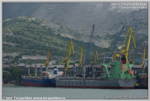
Ellenita
Current StatusWhere is the vessel?
Ellenita is currently in 27 nm N of BITUNG, based on AIS data received about 14h ago.
Latest AIS update:
Current position: 1.86936° N, 125.26546° E (27 nm N of BITUNG)
Average speed (last 7 days): Loading…
Average speed (last 30 days): Loading…
Vessel profile: Ellenita is a Bulk Carrier with dimensions 32m x 190m.
This page combines live AIS, route history, probable destination signals, nearby traffic, and port activity for practical vessel monitoring.
The current position of vessel Ellenita is 1.86936 lat / 125.26546 lng. Updated: 2026-05-18 07:43:14 UTCNearest reference points:
- Near BITUNG
- Near TERNATE
Details:
Live Vessel Ellenita Analytics (details, animations, etc.)
Recent AIS points (UTC):
2026-05-18 04:25:16 UTC · 2.50167, 124.87667 · SOG 13 kn · COG -1°2026-05-18 05:52:15 UTC · 2.22500, 125.04833 · SOG 13 kn · COG -1°
2026-05-18 07:26:04 UTC · 1.92502, 125.23348 · SOG 13.3 kn · COG 150°
2026-05-18 07:43:14 UTC · 1.86936, 125.26546 · SOG 13.2 kn · COG 148°