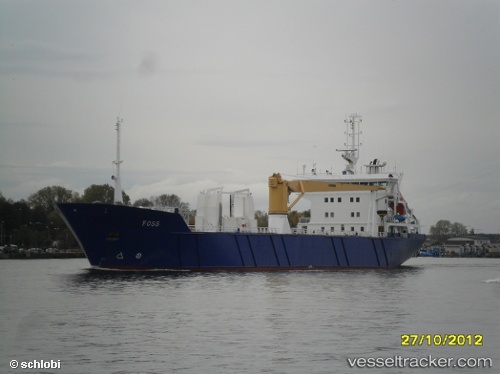
 CARTEN ELINA
Current Status
Where is the vessel?
CARTEN ELINA is currently in Near Hvasser, based on AIS data received about 14h ago.
Latest AIS update:
Current position: 58.92249° N, 10.46697° E (Near Hvasser)
Average speed (last 7 days): Loading…
Average speed (last 30 days): Loading…
Vessel profile: CARTEN ELINA is a Pallet Carrier with dimensions m x m.
This page combines live AIS, route history, probable destination signals, nearby traffic, and port activity for practical vessel monitoring.
The current position of vessel CARTEN ELINA is 58.92249 lat / 10.46697 lng. Updated: 2026-05-22 15:46:09 UTCNearest reference points:
- Near Hvasser
- Near Thorøya
- Near Husøy - Tønsberg
Currently sailing under the flag of Norway ![]()
Details:
Live Vessel CARTEN ELINA Analytics (details, animations, etc.)
Recent AIS points (UTC):
2026-05-22 11:40:49 UTC · 58.43058, 9.24207 · SOG 11.7 kn · COG 55°2026-05-22 13:07:59 UTC · 58.60493, 9.69048 · SOG 11.9 kn · COG 51°
2026-05-22 13:30:17 UTC · 58.65057, 9.80201 · SOG 11.8 kn · COG 50°
2026-05-22 15:46:09 UTC · 58.92249, 10.46697 · SOG 12.1 kn · COG 55°