 ARAS SALVOR
Current Status
Where is the vessel?
ARAS SALVOR is currently in Near Agigea, based on AIS data received about 14h ago.
Latest AIS update:
Current position: 44.09525° N, 28.65155° E (Near Agigea)
Average speed (last 7 days): Loading…
Average speed (last 30 days): Loading…
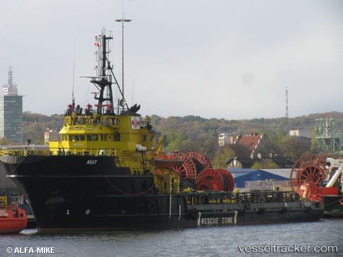
Vessel profile: ARAS SALVOR is a Anchor Handling Vessel with dimensions m x m.
This page combines live AIS, route history, probable destination signals, nearby traffic, and port activity for practical vessel monitoring.
The current position of vessel ARAS SALVOR is 44.09525 lat / 28.65155 lng. Updated: 2026-05-21 22:15:03 UTCNearest reference points:
- Near Constanta
- Near Ovidiu
- Near MIDIA
Currently sailing under the flag of Turkey ![]()
Details:
Live Vessel ARAS SALVOR Analytics (details, animations, etc.)
Recent AIS points (UTC):
2026-05-21 17:47:54 UTC · 44.09512, 28.65158 · SOG 0 kn · COG 12°2026-05-21 19:15:28 UTC · 44.09524, 28.65141 · SOG 0 kn · COG 11°
2026-05-21 19:35:57 UTC · 44.09522, 28.65148 · SOG 0 kn · COG 11°
2026-05-21 22:15:03 UTC · 44.09525, 28.65155 · SOG 0 kn · COG 11°