 KRASNOYARSK
Current Status
Where is the vessel?
KRASNOYARSK is currently in 61 nm N of Villanueva de Lorenzana, based on AIS data received about 15h ago.
Latest AIS update:
Current position: 44.41421° N, 9.80240° W (61 nm N of Villanueva de Lorenzana)
Average speed (last 7 days): Loading…
Average speed (last 30 days): Loading…
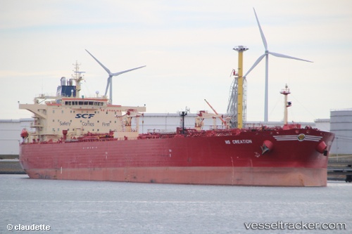
Vessel profile: KRASNOYARSK is a Oil Products Tanker with dimensions m x m.
This page combines live AIS, route history, probable destination signals, nearby traffic, and port activity for practical vessel monitoring.
The current position of vessel KRASNOYARSK is 44.41421 lat / -9.80240 lng. Updated: 2026-05-23 05:34:50 UTCNearest reference points:
- 13 nm NE of Villanueva de Lorenzana
- 30 nm NW of Meiras-Valdoviño
- Near PUNTA LANGOSTEIRA
Currently sailing under the flag of Russia ![]()
Details:
Live Vessel KRASNOYARSK Analytics (details, animations, etc.)
Recent AIS points (UTC):
2026-05-23 01:38:17 UTC · 43.70031, -9.68519 · SOG 10.5 kn · COG 356°2026-05-23 03:47:49 UTC · 44.08468, -9.74793 · SOG 11.3 kn · COG 355°
2026-05-23 04:43:01 UTC · 44.25553, -9.77685 · SOG 11.2 kn · COG 355°
2026-05-23 05:34:50 UTC · 44.41421, -9.80240 · SOG 10.8 kn · COG 355°