 SALUT
SALUT
Current Status
Where is the vessel?
SALUT is currently in 139 nm E of Vinh Cam Ranh, based on AIS data received about 15h ago.
Latest AIS update:
Current position: 11.02500° N, 111.34833° E (139 nm E of Vinh Cam Ranh)
Average speed (last 7 days): Loading…
Average speed (last 30 days): Loading…
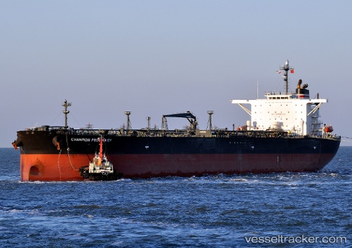
Vessel profile: SALUT is a Crude Oil Tanker with dimensions m x m.
This page combines live AIS, route history, probable destination signals, nearby traffic, and port activity for practical vessel monitoring.
The current position of vessel SALUT is 11.02500 lat / 111.34833 lng. Updated: 2026-05-22 16:02:57 UTCNearest reference points:
- 163 nm E of Vinh Cam Ranh
- 156 nm SE of Phan Rang-Tháp Chàm
- 211 nm N of Pulau Lang Lang
Currently sailing under the flag of Russia ![]()
Details:
Live Vessel SALUT Analytics (details, animations, etc.)
Recent AIS points (UTC):
2026-05-22 12:57:04 UTC · 11.43931, 111.74071 · SOG 11.2 kn · COG 222°2026-05-22 13:53:57 UTC · 11.31167, 111.61500 · SOG 11 kn · COG -1°
2026-05-22 15:59:58 UTC · 11.03167, 111.35500 · SOG 10 kn · COG -1°
2026-05-22 16:02:57 UTC · 11.02500, 111.34833 · SOG 10 kn · COG -1°