 KLEER
KLEER
Current Status
Where is the vessel?
KLEER is currently in Near Ile D’Ouessant, based on AIS data received about 15h ago.
Latest AIS update:
Current position: 48.70421° N, 5.62863° W (Near Ile D’Ouessant)
Average speed (last 7 days): Loading…
Average speed (last 30 days): Loading…
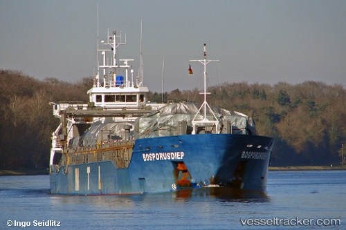
Vessel profile: KLEER is a General Cargo with dimensions m x m.
This page combines live AIS, route history, probable destination signals, nearby traffic, and port activity for practical vessel monitoring.
The current position of vessel KLEER is 48.70421 lat / -5.62863 lng. Updated: 2026-05-21 19:56:16 UTCNearest reference points:
- 16 nm NW of Ile D’Ouessant
- 18 nm NE of Ile D’Ouessant
- Near Creac'h-Point
Currently sailing under the flag of Antigua and Barbuda ![]()
Details:
Live Vessel KLEER Analytics (details, animations, etc.)
Recent AIS points (UTC):
2026-05-21 16:57:26 UTC · 48.17762, -5.49702 · SOG 11.7 kn · COG 327°2026-05-21 17:53:56 UTC · 48.34131, -5.63318 · SOG 11.9 kn · COG 324°
2026-05-21 19:50:55 UTC · 48.68784, -5.64178 · SOG 12.5 kn · COG 27°
2026-05-21 19:56:16 UTC · 48.70421, -5.62863 · SOG 12.3 kn · COG 27°