 Carolin G.
Current Status
Where is the vessel?
Carolin G. is currently in 28 nm NW of PENICHE, based on AIS data received about 15h ago.
Latest AIS update:
Current position: 39.76315° N, 9.63571° W (28 nm NW of PENICHE)
Average speed (last 7 days): Loading…
Average speed (last 30 days): Loading…
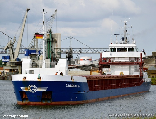
Vessel profile: Carolin G. is a Multi Purpose Carrier with dimensions 88m x 12m.
This page combines live AIS, route history, probable destination signals, nearby traffic, and port activity for practical vessel monitoring.
The current position of vessel Carolin G. is 39.76315 lat / -9.63571 lng. Updated: 2026-05-22 20:22:44 UTCNearest reference points:
- Near PENICHE
- Near Nazaré
- Near Figuera Da Foz
Currently sailing under the flag of Antigua Barbuda ![]()
Carolin G. built in 2008 year
Deadweight:
3797 tDetails:
Live Vessel Carolin G. Analytics (details, animations, etc.)
Recent AIS points (UTC):
2026-05-22 16:32:47 UTC · 40.23780, -9.29887 · SOG 8.4 kn · COG 211°2026-05-22 17:50:07 UTC · 40.08311, -9.42697 · SOG 8.6 kn · COG 211°
2026-05-22 19:07:34 UTC · 39.92553, -9.54045 · SOG 8.2 kn · COG 203°
2026-05-22 20:22:44 UTC · 39.76315, -9.63571 · SOG 8.2 kn · COG 202°