 THIRTY ONE
Current Status
Where is the vessel?
THIRTY ONE is currently in 18 nm E of Dalian, based on AIS data received about 14h ago.
Latest AIS update:
Current position: 38.94710° N, 122.03243° E (18 nm E of Dalian)
Average speed (last 7 days): Loading…
Average speed (last 30 days): Loading…
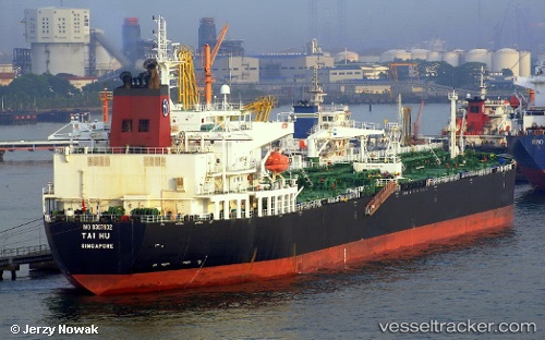
Vessel profile: THIRTY ONE is a Crude Oil Tanker with dimensions m x m.
This page combines live AIS, route history, probable destination signals, nearby traffic, and port activity for practical vessel monitoring.
The current position of vessel THIRTY ONE is 38.94710 lat / 122.03243 lng. Updated: 2026-05-22 22:18:20 UTCNearest reference points:
- 15 nm E of Dalian
- 20 nm E of Dalian
- 15 nm SE of Dalian
Currently sailing under the flag of Curacao ![]()
Details:
Live Vessel THIRTY ONE Analytics (details, animations, etc.)
Recent AIS points (UTC):
2026-05-22 18:00:52 UTC · 38.94742, 122.03067 · SOG 0.1 kn · COG 187°2026-05-22 19:54:11 UTC · 38.94762, 122.03065 · SOG 0 kn · COG 184°
2026-05-22 20:05:15 UTC · 38.94801, 122.03081 · SOG 0 kn · COG 192°
2026-05-22 22:18:20 UTC · 38.94710, 122.03243 · SOG 0 kn · COG 219°