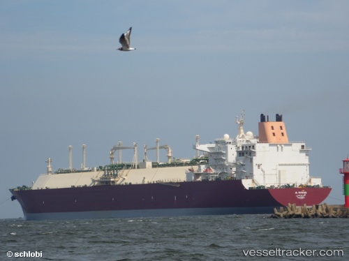
Al Ruwais
Current StatusWhere is the vessel?
Al Ruwais is currently in 280 nm SE of Ile Desroches, based on AIS data received about 14h ago.
Latest AIS update:
Current position: 9.70428° S, 56.07870° E (280 nm SE of Ile Desroches)
Average speed (last 7 days): Loading…
Average speed (last 30 days): Loading…
Vessel profile: Al Ruwais is a Lng Tanker with dimensions 50m x 315m.
This page combines live AIS, route history, probable destination signals, nearby traffic, and port activity for practical vessel monitoring.
The current position of vessel Al Ruwais is -9.70428 lat / 56.07870 lng. Updated: 2026-05-21 11:59:12 UTCNearest reference points:
- 217 nm SE of Ile Desroches
- Open sea, approx. 400 nm off the nearest listed port
- Open sea, approx. 404 nm off the nearest listed port
Details:
Live Vessel Al Ruwais Analytics (details, animations, etc.)
Recent AIS points (UTC):
2026-05-21 07:23:11 UTC · -9.72600, 56.13104 · SOG 0.7 kn · COG 182°2026-05-21 08:52:55 UTC · -9.72296, 56.11230 · SOG 0.7 kn · COG 208°
2026-05-21 10:46:35 UTC · -9.71340, 56.09000 · SOG 0.8 kn · COG 207°
2026-05-21 11:59:12 UTC · -9.70428, 56.07870 · SOG 0.7 kn · COG 220°