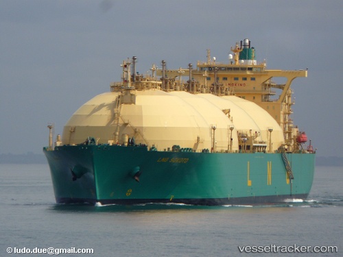
 Lng Sokoto
Current Status
Where is the vessel?
Lng Sokoto is currently in 124 nm W of Cape Of Good Hope, based on AIS data received about 14h ago.
Latest AIS update:
Current position: 34.79646° S, 15.93469° E (124 nm W of Cape Of Good Hope)
Average speed (last 7 days): Loading…
Average speed (last 30 days): Loading…
Vessel profile: Lng Sokoto is a Lng Tanker with dimensions 288m x 48m.
This page combines live AIS, route history, probable destination signals, nearby traffic, and port activity for practical vessel monitoring.
The current position of vessel Lng Sokoto is -34.79646 lat / 15.93469 lng. Updated: 2026-05-19 17:18:28 UTCNearest reference points:
- 111 nm W of Kommetjie
- 116 nm SW of Saldanha Bay
- 18 nm SW of Cape Of Good Hope
Currently sailing under the flag of Bermuda ![]()
Lng Sokoto built in 2002 year
Deadweight:
79822 tDetails:
Live Vessel Lng Sokoto Analytics (details, animations, etc.)
Recent AIS points (UTC):
2026-05-19 13:34:18 UTC · -35.33227, 16.72842 · SOG 14.1 kn · COG 310°2026-05-19 15:54:48 UTC · -34.99267, 16.23043 · SOG 13.7 kn · COG 310°
2026-05-19 16:19:38 UTC · -34.93378, 16.14195 · SOG 13.8 kn · COG 309°
2026-05-19 17:18:28 UTC · -34.79646, 15.93469 · SOG 13 kn · COG 310°