 CAGLA
CAGLA
Current Status
Where is the vessel?
CAGLA is currently in Near Batumi, based on AIS data received about 14h ago.
Latest AIS update:
Current position: 41.64722° N, 41.65451° E (Near Batumi)
Average speed (last 7 days): Loading…
Average speed (last 30 days): Loading…
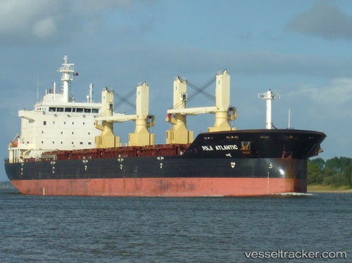
Vessel profile: CAGLA is a Bulk Carrier with dimensions m x m.
This page combines live AIS, route history, probable destination signals, nearby traffic, and port activity for practical vessel monitoring.
The current position of vessel CAGLA is 41.64722 lat / 41.65451 lng. Updated: 2026-05-20 22:47:15 UTCNearest reference points:
- Near Batumi
- Near Sup'sa
- Near Hopa
Currently sailing under the flag of Barbados ![]()
Details:
Live Vessel CAGLA Analytics (details, animations, etc.)
Recent AIS points (UTC):
2026-05-20 17:23:12 UTC · 41.64722, 41.65448 · SOG 0 kn · COG 286°2026-05-20 19:20:13 UTC · 41.64723, 41.65449 · SOG 0 kn · COG 286°
2026-05-20 21:38:14 UTC · 41.64721, 41.65447 · SOG 0 kn · COG 286°
2026-05-20 22:47:15 UTC · 41.64722, 41.65451 · SOG 0 kn · COG 286°