 JING HAI
Current Status
Where is the vessel?
JING HAI is currently in 95 nm E of Masirah, based on AIS data received about 15h ago.
Latest AIS update:
Current position: 19.92192° N, 60.43315° E (95 nm E of Masirah)
Average speed (last 7 days): Loading…
Average speed (last 30 days): Loading…
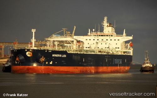
Vessel profile: JING HAI is a Crude Oil Tanker with dimensions m x m.
This page combines live AIS, route history, probable destination signals, nearby traffic, and port activity for practical vessel monitoring.
The current position of vessel JING HAI is 19.92192 lat / 60.43315 lng. Updated: 2026-05-19 13:28:32 UTCNearest reference points:
- 90 nm SE of SUR
- 120 nm E of SUR
Currently sailing under the flag of Barbados ![]()
Details:
Live Vessel JING HAI Analytics (details, animations, etc.)
Recent AIS points (UTC):
2026-05-19 10:25:33 UTC · 19.76440, 59.76665 · SOG 12.5 kn · COG 76°2026-05-19 11:55:53 UTC · 19.83873, 60.09247 · SOG 12.7 kn · COG 76°
2026-05-19 13:25:53 UTC · 19.91957, 60.42347 · SOG 12.8 kn · COG 73°
2026-05-19 13:28:32 UTC · 19.92192, 60.43315 · SOG 12.7 kn · COG 73°