 vesseltracker.com
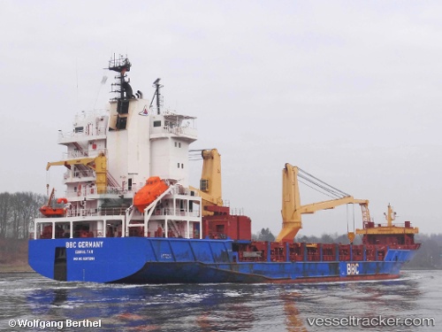
 OCEAN MARY
Current Status
Where is the vessel?
OCEAN MARY is currently in 33 nm SW of Dalia, based on AIS data received about 14h ago.
Latest AIS update:
Current position: 8.18572° S, 11.56466° E (33 nm SW of Dalia)
Average speed (last 7 days): Loading…
Average speed (last 30 days): Loading…
Vessel profile: OCEAN MARY is a General Cargo with dimensions m x m.
This page combines live AIS, route history, probable destination signals, nearby traffic, and port activity for practical vessel monitoring.
The current position of vessel OCEAN MARY is -8.18572 lat / 11.56466 lng. Updated: 2026-05-18 03:40:51 UTCNearest reference points:
- Near Greater Plutonio
- Near Luanda
- Near SOYO
Currently sailing under the flag of Barbados ![]()
Details:
Live Vessel OCEAN MARY Analytics (details, animations, etc.)
Recent AIS points (UTC):
2026-05-17 23:12:59 UTC · -8.36067, 12.24851 · SOG 9.7 kn · COG 292°2026-05-18 01:18:07 UTC · -8.27057, 11.92629 · SOG 9.4 kn · COG 287°
2026-05-18 02:07:12 UTC · -8.24119, 11.79974 · SOG 9.4 kn · COG 288°
2026-05-18 03:40:51 UTC · -8.18572, 11.56466 · SOG 9 kn · COG 287°