 KIVIUQ 1
Current Status
Where is the vessel?
KIVIUQ 1 is currently in Near ST JOHNS, based on AIS data received about 14h ago.
Latest AIS update:
Current position: 47.56374° N, 52.69538° W (Near ST JOHNS)
Average speed (last 7 days): Loading…
Average speed (last 30 days): Loading…
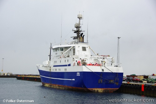
Vessel profile: KIVIUQ 1 is a Fishing with dimensions m x m.
This page combines live AIS, route history, probable destination signals, nearby traffic, and port activity for practical vessel monitoring.
The current position of vessel KIVIUQ 1 is 47.56374 lat / -52.69538 lng. Updated: 2026-05-19 23:25:20 UTCNearest reference points:
- Near St. John’S
- Near Witless Bay
- Near Catalina
Currently sailing under the flag of Canada ![]()
Details:
Live Vessel KIVIUQ 1 Analytics (details, animations, etc.)
Recent AIS points (UTC):
2026-05-19 19:58:20 UTC · 47.56373, -52.69539 · SOG 0 kn · COG 62°2026-05-19 21:49:21 UTC · 47.56375, -52.69540 · SOG 0 kn · COG 62°
2026-05-19 22:37:19 UTC · 47.56374, -52.69537 · SOG 0 kn · COG 63°
2026-05-19 23:25:20 UTC · 47.56374, -52.69538 · SOG 0 kn · COG 62°