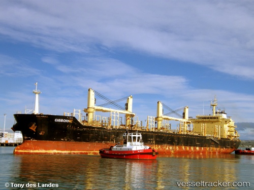
 KALIXENOS
Current Status
Where is the vessel?
KALIXENOS is currently in 74 nm SE of HAMBANTOTA, based on AIS data received about 15h ago.
Latest AIS update:
Current position: 5.08500° N, 81.75167° E (74 nm SE of HAMBANTOTA)
Average speed (last 7 days): Loading…
Average speed (last 30 days): Loading…
Vessel profile: KALIXENOS is a Bulk Carrier with dimensions m x m.
This page combines live AIS, route history, probable destination signals, nearby traffic, and port activity for practical vessel monitoring.
The current position of vessel KALIXENOS is 5.08500 lat / 81.75167 lng. Updated: 2026-05-21 20:17:45 UTCNearest reference points:
- 53 nm SE of Konwelana
- 75 nm E of Konwelana
- 79 nm E of Konwelana
Currently sailing under the flag of Panama ![]()
Details:
Live Vessel KALIXENOS Analytics (details, animations, etc.)
Recent AIS points (UTC):
2026-05-21 16:44:41 UTC · 5.41667, 81.13167 · SOG 11 kn · COG -1°2026-05-21 17:51:37 UTC · 5.32243, 81.32527 · SOG 11.6 kn · COG -1°
2026-05-21 19:47:43 UTC · 5.13500, 81.66167 · SOG 12 kn · COG -1°
2026-05-21 20:17:45 UTC · 5.08500, 81.75167 · SOG 12 kn · COG -1°