 PB CHALITA
Current Status
Where is the vessel?
PB CHALITA is currently in 15 nm SW of Banting, based on AIS data received about 14h ago.
Latest AIS update:
Current position: 2.59565° N, 101.38402° E (15 nm SW of Banting)
Average speed (last 7 days): Loading…
Average speed (last 30 days): Loading…
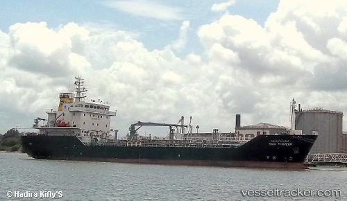
Vessel profile: PB CHALITA is a Oil/Chemical Tanker with dimensions m x m.
This page combines live AIS, route history, probable destination signals, nearby traffic, and port activity for practical vessel monitoring.
The current position of vessel PB CHALITA is 2.59565 lat / 101.38402 lng. Updated: 2026-05-19 00:07:39 UTCNearest reference points:
- 14 nm SW of Banting
- 15 nm SW of Banting
- Near Carey Island Estate
Currently sailing under the flag of Panama ![]()
Details:
Live Vessel PB CHALITA Analytics (details, animations, etc.)
Recent AIS points (UTC):
2026-05-18 19:47:45 UTC · 2.87328, 100.87914 · SOG 7.3 kn · COG 122°2026-05-18 21:52:27 UTC · 2.73677, 101.10348 · SOG 7.9 kn · COG -1°
2026-05-18 22:17:29 UTC · 2.70723, 101.15111 · SOG 8 kn · COG -1°
2026-05-19 00:07:39 UTC · 2.59565, 101.38402 · SOG 8.8 kn · COG -1°