 XSSC BRIGHT
Current Status
Where is the vessel?
XSSC BRIGHT is currently in 24 nm SW of Goudiniweg, based on AIS data received about 14h ago.
Latest AIS update:
Current position: 34.97082° S, 19.12757° E (24 nm SW of Goudiniweg)
Average speed (last 7 days): Loading…
Average speed (last 30 days): Loading…
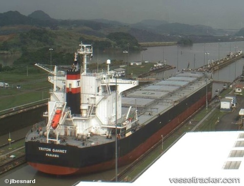
Vessel profile: XSSC BRIGHT is a Bulk Carrier with dimensions m x m.
This page combines live AIS, route history, probable destination signals, nearby traffic, and port activity for practical vessel monitoring.
The current position of vessel XSSC BRIGHT is -34.97082 lat / 19.12757 lng. Updated: 2026-05-19 12:03:43 UTCNearest reference points:
- 15 nm SE of Moorreesburg
- Near Mitchells Plain
- 18 nm SW of Cape Of Good Hope
Currently sailing under the flag of Panama ![]()
Details:
Live Vessel XSSC BRIGHT Analytics (details, animations, etc.)
Recent AIS points (UTC):
2026-05-19 08:05:46 UTC · -35.15218, 19.92408 · SOG 9.9 kn · COG 267°2026-05-19 10:06:02 UTC · -35.06868, 19.52488 · SOG 10.4 kn · COG 290°
2026-05-19 10:26:04 UTC · -35.04922, 19.45913 · SOG 10.1 kn · COG 290°
2026-05-19 12:03:43 UTC · -34.97082, 19.12757 · SOG 10.4 kn · COG 291°