 KAI 1
KAI 1
Current Status
Where is the vessel?
KAI 1 is currently in 76 nm SW of Gizan, based on AIS data received about 14h ago.
Latest AIS update:
Current position: 16.37638° N, 41.18142° E (76 nm SW of Gizan)
Average speed (last 7 days): Loading…
Average speed (last 30 days): Loading…
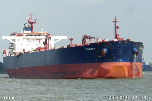
Vessel profile: KAI 1 is a Crude Oil Tanker with dimensions m x m.
This page combines live AIS, route history, probable destination signals, nearby traffic, and port activity for practical vessel monitoring.
The current position of vessel KAI 1 is 16.37638 lat / 41.18142 lng. Updated: 2026-05-22 03:39:28 UTCNearest reference points:
- 81 nm NW of As Salif
- 92 nm SW of Al Qahmah
- Near Jazan Economic City
Currently sailing under the flag of Panama ![]()
Details:
Live Vessel KAI 1 Analytics (details, animations, etc.)
Recent AIS points (UTC):
2026-05-21 22:19:28 UTC · 15.37013, 41.77355 · SOG 13.1 kn · COG 332°2026-05-22 01:45:50 UTC · 16.03833, 41.44333 · SOG 13 kn · COG -1°
2026-05-22 02:21:58 UTC · 16.15558, 41.37206 · SOG 13.4 kn · COG 323°
2026-05-22 03:39:28 UTC · 16.37638, 41.18142 · SOG 13.1 kn · COG 318°