 THE RAINBOW
Current Status
Where is the vessel?
THE RAINBOW is currently in 21 nm S of Mount Pleasant, based on AIS data received about 14h ago.
Latest AIS update:
Current position: 34.34039° S, 25.57477° E (21 nm S of Mount Pleasant)
Average speed (last 7 days): Loading…
Average speed (last 30 days): Loading…
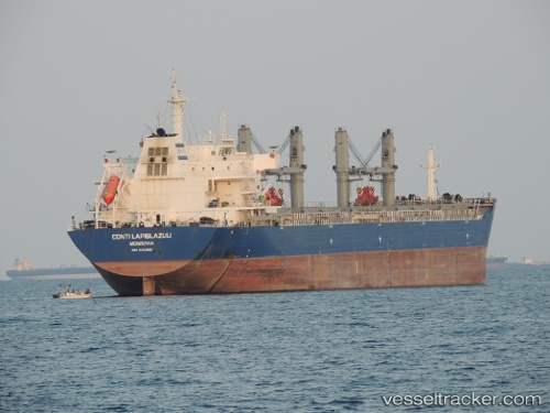
Vessel profile: THE RAINBOW is a Bulk Carrier with dimensions m x m.
This page combines live AIS, route history, probable destination signals, nearby traffic, and port activity for practical vessel monitoring.
The current position of vessel THE RAINBOW is -34.34039 lat / 25.57477 lng. Updated: 2026-05-21 13:07:45 UTCNearest reference points:
- 21 nm S of Mount Pleasant
- Near Deal Party
Currently sailing under the flag of Panama ![]()
Details:
Live Vessel THE RAINBOW Analytics (details, animations, etc.)
Recent AIS points (UTC):
2026-05-21 09:54:03 UTC · -34.14097, 26.25580 · SOG 11 kn · COG 260°2026-05-21 10:58:25 UTC · -34.20081, 26.03262 · SOG 11.1 kn · COG 244°
2026-05-21 11:22:55 UTC · -34.23106, 25.94648 · SOG 11.2 kn · COG 245°
2026-05-21 13:07:45 UTC · -34.34039, 25.57477 · SOG 11.1 kn · COG 247°