 AMARIN INDAH
Current Status
Where is the vessel?
AMARIN INDAH is currently in 300 nm W of Tinaquillo, based on AIS data received about 15h ago.
Latest AIS update:
Current position: 11.64179° N, 63.52415° E (300 nm W of Tinaquillo)
Average speed (last 7 days): Loading…
Average speed (last 30 days): Loading…
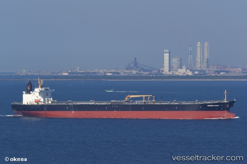
Vessel profile: AMARIN INDAH is a Crude Oil Tanker with dimensions m x m.
This page combines live AIS, route history, probable destination signals, nearby traffic, and port activity for practical vessel monitoring.
The current position of vessel AMARIN INDAH is 11.64179 lat / 63.52415 lng. Updated: 2026-05-21 00:12:11 UTCNearest reference points:
- Open sea, approx. 400 nm off the nearest listed port
- Open sea, approx. 401 nm off the nearest listed port
- Open sea, approx. 402 nm off the nearest listed port
Currently sailing under the flag of Panama ![]()
Details:
Live Vessel AMARIN INDAH Analytics (details, animations, etc.)
Recent AIS points (UTC):
2026-05-20 22:05:51 UTC · 11.76319, 63.12555 · SOG 11.8 kn · COG 106°2026-05-20 22:39:16 UTC · 11.72814, 63.22939 · SOG 11.7 kn · COG 108°
2026-05-21 00:12:11 UTC · 11.64179, 63.52415 · SOG 11.8 kn · COG 104°
2026-05-21 00:12:11 UTC · 11.64179, 63.52415 · SOG 11.8 kn · COG 104°