 GLORY ALBATROSS
Current Status
Where is the vessel?
GLORY ALBATROSS is currently in 172 nm W of Omura, based on AIS data received about 14h ago.
Latest AIS update:
Current position: 26.76340° N, 138.99718° E (172 nm W of Omura)
Average speed (last 7 days): Loading…
Average speed (last 30 days): Loading…
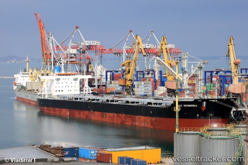
Vessel profile: GLORY ALBATROSS is a Bulk Carrier with dimensions m x m.
This page combines live AIS, route history, probable destination signals, nearby traffic, and port activity for practical vessel monitoring.
The current position of vessel GLORY ALBATROSS is 26.76340 lat / 138.99718 lng. Updated: 2026-05-18 22:12:30 UTCCurrently sailing under the flag of Panama ![]()
Details:
Live Vessel GLORY ALBATROSS Analytics (details, animations, etc.)
Recent AIS points (UTC):
2026-05-18 19:42:02 UTC · 27.17874, 138.89851 · SOG 10.5 kn · COG 159°2026-05-18 20:18:06 UTC · 27.07836, 138.92551 · SOG 10.2 kn · COG 162°
2026-05-18 22:12:30 UTC · 26.76340, 138.99718 · SOG 10.1 kn · COG 163°
2026-05-18 22:12:30 UTC · 26.76340, 138.99718 · SOG 10.1 kn · COG 163°