 vesseltracker.com
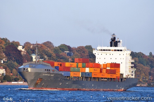
 MALAK M
Current Status
Where is the vessel?
MALAK M is currently in 18 nm S of Hydra (Idhra), based on AIS data received about 14h ago.
Latest AIS update:
Current position: 37.04524° N, 23.44771° E (18 nm S of Hydra (Idhra))
Average speed (last 7 days): Loading…
Average speed (last 30 days): Loading…
Vessel profile: MALAK M is a Container Ship with dimensions m x m.
This page combines live AIS, route history, probable destination signals, nearby traffic, and port activity for practical vessel monitoring.
The current position of vessel MALAK M is 37.04524 lat / 23.44771 lng. Updated: 2026-05-18 02:19:23 UTCNearest reference points:
- 20 nm E of FOKIANOS
- Near POROS
- Near Galatas Troizinas
Currently sailing under the flag of Panama ![]()
Details:
Live Vessel MALAK M Analytics (details, animations, etc.)
Recent AIS points (UTC):
2026-05-17 23:06:04 UTC · 37.69305, 23.67798 · SOG 12.8 kn · COG 157°2026-05-17 23:40:44 UTC · 37.57248, 23.69766 · SOG 12.9 kn · COG 186°
2026-05-18 02:17:54 UTC · 37.04977, 23.45099 · SOG 12.6 kn · COG 210°
2026-05-18 02:19:23 UTC · 37.04524, 23.44771 · SOG 12.6 kn · COG 210°