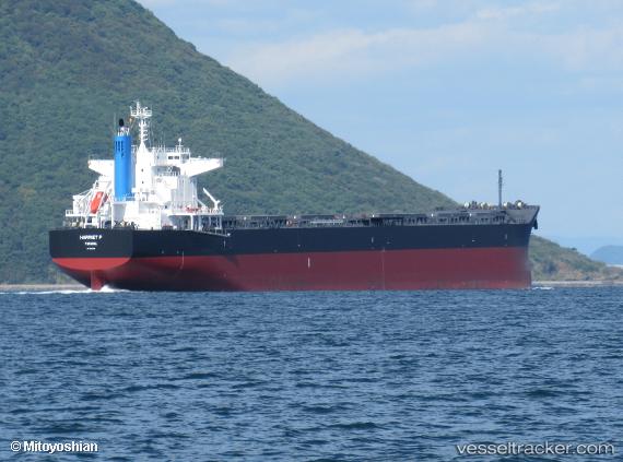
Harriet P
Current StatusWhere is the vessel?
Harriet P is currently in Open sea (no nearby ports in database), based on AIS data received about 14h ago.
Latest AIS update:
Current position: 30.50557° S, 92.35217° W (Open sea (no nearby ports in database))
Average speed (last 7 days): Loading…
Average speed (last 30 days): Loading…
Vessel profile: Harriet P is a Bulk Carrier with dimensions 32m x 229m.
This page combines live AIS, route history, probable destination signals, nearby traffic, and port activity for practical vessel monitoring.
The current position of vessel Harriet P is -30.50557 lat / -92.35217 lng. Updated: 2026-05-20 22:38:44 UTCNearest reference points:
- Open sea (no nearby ports in database)
Details:
Live Vessel Harriet P Analytics (details, animations, etc.)
Recent AIS points (UTC):
2026-05-20 19:22:51 UTC · -30.62063, -93.00073 · SOG 10.5 kn · COG 78°2026-05-20 19:24:39 UTC · -30.61975, -92.99513 · SOG 10.5 kn · COG 79°
2026-05-20 21:34:15 UTC · -30.53741, -92.56640 · SOG 10.5 kn · COG 78°
2026-05-20 22:38:44 UTC · -30.50557, -92.35217 · SOG 10.6 kn · COG 79°