 vesseltracker.com
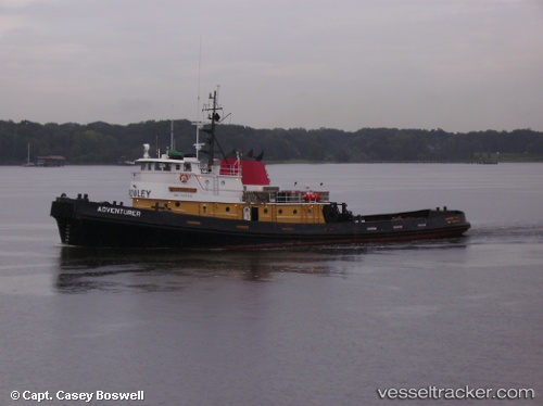
 Adventurer
Current Status
Where is the vessel?
Adventurer is currently in 236 nm S of Ben Slimane, based on AIS data received about 14h ago.
Latest AIS update:
Current position: 29.70833° N, 71.77167° W (236 nm S of Ben Slimane)
Average speed (last 7 days): Loading…
Average speed (last 30 days): Loading…
Vessel profile: Adventurer is a Tug with dimensions 40m x 10m.
This page combines live AIS, route history, probable destination signals, nearby traffic, and port activity for practical vessel monitoring.
The current position of vessel Adventurer is 29.70833 lat / -71.77167 lng. Updated: 2026-05-17 21:59:16 UTCNearest reference points:
- 150 nm S of Ben Slimane
Currently sailing under the flag of USA ![]()
Adventurer built in 1976 year
Details:
Live Vessel Adventurer Analytics (details, animations, etc.)
Recent AIS points (UTC):
2026-05-17 17:16:27 UTC · 28.92167, -71.38333 · SOG 10 kn · COG -1°2026-05-17 19:49:53 UTC · 29.33833, -71.58333 · SOG 11 kn · COG -1°
2026-05-17 20:04:54 UTC · 29.38167, -71.60333 · SOG 11 kn · COG -1°
2026-05-17 21:59:16 UTC · 29.70833, -71.77167 · SOG 11 kn · COG -1°