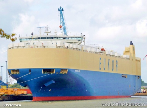
Morning Linda
Current StatusWhere is the vessel?
Morning Linda is currently in Near Punta de Maisi, based on AIS data received about 16h ago.
Latest AIS update:
Current position: 20.29667° N, 74.02500° W (Near Punta de Maisi)
Average speed (last 7 days): Loading…
Average speed (last 30 days): Loading…
Vessel profile: Morning Linda is a Vehicles Carrier with dimensions 32m x 232m.
This page combines live AIS, route history, probable destination signals, nearby traffic, and port activity for practical vessel monitoring.
The current position of vessel Morning Linda is 20.29667 lat / -74.02500 lng. Updated: 2026-05-21 10:40:11 UTCNearest reference points:
- 56 nm SW of Cockburn Harbour
- 47 nm SW of Cockburn Harbour
- 38 nm SW of Cockburn Harbour
Details:
Live Vessel Morning Linda Analytics (details, animations, etc.)
Recent AIS points (UTC):
2026-05-21 07:34:08 UTC · 20.98167, -74.27167 · SOG 13 kn · COG -1°2026-05-21 07:58:11 UTC · 20.89667, -74.23500 · SOG 13 kn · COG -1°
2026-05-21 09:31:08 UTC · 20.56333, -74.09667 · SOG 14 kn · COG -1°
2026-05-21 10:40:11 UTC · 20.29667, -74.02500 · SOG 15 kn · COG -1°