 vesseltracker.com
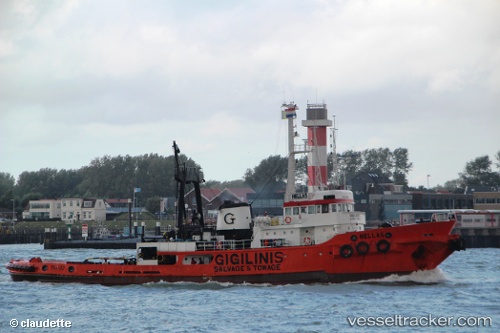
 PERTULA
Current Status
Where is the vessel?
PERTULA is currently in Near TIVAT, based on AIS data received about 14h ago.
Latest AIS update:
Current position: 42.43518° N, 18.69244° E (Near TIVAT)
Average speed (last 7 days): Loading…
Average speed (last 30 days): Loading…
Vessel profile: PERTULA is a Tug with dimensions m x m.
This page combines live AIS, route history, probable destination signals, nearby traffic, and port activity for practical vessel monitoring.
The current position of vessel PERTULA is 42.43518 lat / 18.69244 lng. Updated: 2026-05-18 09:43:25 UTCNearest reference points:
- Near TIVAT
- Near Zelenika
- Near Zelinika
Currently sailing under the flag of Saint Vincent and the Grenadines ![]()
Details:
Live Vessel PERTULA Analytics (details, animations, etc.)
Recent AIS points (UTC):
2026-05-18 04:38:03 UTC · 42.43516, 18.69243 · SOG 0 kn · COG -1°2026-05-18 06:17:03 UTC · 42.43520, 18.69241 · SOG 0 kn · COG -1°
2026-05-18 06:17:03 UTC · 42.43520, 18.69241 · SOG 0 kn · COG -1°
2026-05-18 09:43:25 UTC · 42.43518, 18.69244 · SOG 0 kn · COG -1°