 ALIHURAS
Current Status
Where is the vessel?
ALIHURAS is currently in 25 nm SW of Viligili, based on AIS data received about 15h ago.
Latest AIS update:
Current position: 0.52506° N, 73.01031° E (25 nm SW of Viligili)
Average speed (last 7 days): Loading…
Average speed (last 30 days): Loading…
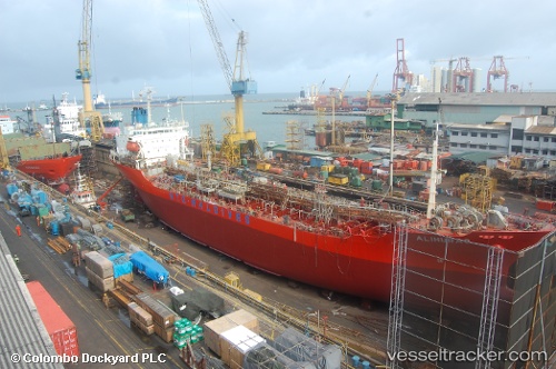
Vessel profile: ALIHURAS is a Oil/Chemical Tanker with dimensions m x m.
This page combines live AIS, route history, probable destination signals, nearby traffic, and port activity for practical vessel monitoring.
The current position of vessel ALIHURAS is 0.52506 lat / 73.01031 lng. Updated: 2026-05-21 20:39:51 UTCCurrently sailing under the flag of Maldives ![]()
Details:
Live Vessel ALIHURAS Analytics (details, animations, etc.)
Recent AIS points (UTC):
2026-05-21 18:16:08 UTC · 0.52466, 73.01036 · SOG 0.1 kn · COG 336°2026-05-21 18:16:08 UTC · 0.52466, 73.01036 · SOG 0.1 kn · COG 336°
2026-05-21 20:39:51 UTC · 0.52506, 73.01031 · SOG 0.1 kn · COG 325°
2026-05-21 20:39:51 UTC · 0.52506, 73.01031 · SOG 0.1 kn · COG 325°