 PITT ISLAND
Current Status
Where is the vessel?
PITT ISLAND is currently in 17 nm S of Ras as Sidr, based on AIS data received about 15h ago.
Latest AIS update:
Current position: 29.29581° N, 32.72878° E (17 nm S of Ras as Sidr)
Average speed (last 7 days): Loading…
Average speed (last 30 days): Loading…
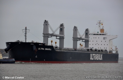
Vessel profile: PITT ISLAND is a Bulk Carrier with dimensions m x m.
This page combines live AIS, route history, probable destination signals, nearby traffic, and port activity for practical vessel monitoring.
The current position of vessel PITT ISLAND is 29.29581 lat / 32.72878 lng. Updated: 2026-05-19 08:21:12 UTCNearest reference points:
- Near Ras Sudr
- Near Al Adabiyah
- Near Bur Ibrahim
Currently sailing under the flag of Hong Kong ![]()
Details:
Live Vessel PITT ISLAND Analytics (details, animations, etc.)
Recent AIS points (UTC):
2026-05-19 05:51:11 UTC · 28.83874, 32.94413 · SOG 11.3 kn · COG 338°2026-05-19 07:03:30 UTC · 29.05453, 32.83498 · SOG 12 kn · COG 350°
2026-05-19 07:03:30 UTC · 29.05453, 32.83498 · SOG 12 kn · COG 350°
2026-05-19 08:21:12 UTC · 29.29581, 32.72878 · SOG 9.5 kn · COG 342°