 Karribi
Current Status
Where is the vessel?
Karribi is currently in 22 nm S of Yampi Sound, based on AIS data received about 15h ago.
Latest AIS update:
Current position: 16.49363° S, 123.53026° E (22 nm S of Yampi Sound)
Average speed (last 7 days): Loading…
Average speed (last 30 days): Loading…
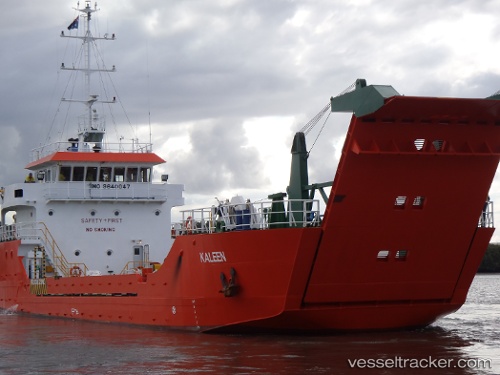
Vessel profile: Karribi is a Landing Craft with dimensions 46m x 11m.
This page combines live AIS, route history, probable destination signals, nearby traffic, and port activity for practical vessel monitoring.
The current position of vessel Karribi is -16.49363 lat / 123.53026 lng. Updated: 2026-05-22 01:23:59 UTCNearest reference points:
- 23 nm E of Yampi Sound
Currently sailing under the flag of Australia ![]()
Karribi built in 2009 year
Deadweight:
461 tDetails:
Live Vessel Karribi Analytics (details, animations, etc.)
Recent AIS points (UTC):
2026-05-21 20:26:18 UTC · -16.49314, 123.53040 · SOG 0.1 kn · COG 151°2026-05-21 20:26:18 UTC · -16.49314, 123.53040 · SOG 0.1 kn · COG 151°
2026-05-22 01:23:59 UTC · -16.49363, 123.53026 · SOG 0.1 kn · COG 33°
2026-05-22 01:23:59 UTC · -16.49363, 123.53026 · SOG 0.1 kn · COG 33°