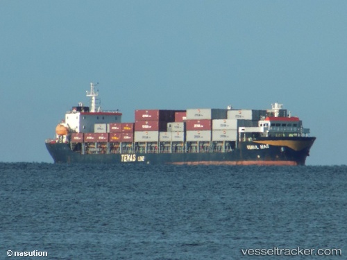
 UMBUL MAS
Current Status
Where is the vessel?
UMBUL MAS is currently in 27 nm E of Dumai, based on AIS data received about 14h ago.
Latest AIS update:
Current position: 1.64528° N, 101.90881° E (27 nm E of Dumai)
Average speed (last 7 days): Loading…
Average speed (last 30 days): Loading…
Vessel profile: UMBUL MAS is a Container Ship with dimensions m x m.
This page combines live AIS, route history, probable destination signals, nearby traffic, and port activity for practical vessel monitoring.
The current position of vessel UMBUL MAS is 1.64528 lat / 101.90881 lng. Updated: 2026-05-20 19:12:40 UTCNearest reference points:
- 34 nm NW of FUTONG
- Near Dumai
- 14 nm W of SUNGAI UDANG
Currently sailing under the flag of Indonesia ![]()
UMBUL MAS built in 2012 year
Deadweight:
8180 tDetails:
Live Vessel UMBUL MAS Analytics (details, animations, etc.)
Recent AIS points (UTC):
2026-05-20 15:56:07 UTC · 1.31229, 102.17490 · SOG 6.9 kn · COG -1°2026-05-20 16:30:53 UTC · 1.37167, 102.16333 · SOG 7 kn · COG -1°
2026-05-20 17:33:33 UTC · 1.45833, 102.06167 · SOG 8 kn · COG -1°
2026-05-20 19:12:40 UTC · 1.64528, 101.90881 · SOG 9.9 kn · COG -1°