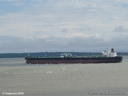
 JENGGALA NASSIM
Current Status
Where is the vessel?
JENGGALA NASSIM is currently in Near JURONG ISLAND, based on AIS data received about 14h ago.
Latest AIS update:
Current position: 1.23238° N, 103.68615° E (Near JURONG ISLAND)
Average speed (last 7 days): Loading…
Average speed (last 30 days): Loading…
Vessel profile: JENGGALA NASSIM is a Tanker with dimensions m x m.
This page combines live AIS, route history, probable destination signals, nearby traffic, and port activity for practical vessel monitoring.
The current position of vessel JENGGALA NASSIM is 1.23238 lat / 103.68615 lng. Updated: 2026-05-19 00:12:10 UTCNearest reference points:
- Near JURONG ISLAND
- Near Pulau Ayer Chawan
- Near BUKOM ISLAND
Currently sailing under the flag of Indonesia ![]()
Details:
Live Vessel JENGGALA NASSIM Analytics (details, animations, etc.)
Recent AIS points (UTC):
2026-05-18 19:52:40 UTC · 1.23242, 103.68603 · SOG 0 kn · COG 43°2026-05-18 21:59:21 UTC · 1.23238, 103.68627 · SOG 0 kn · COG -1°
2026-05-18 22:25:40 UTC · 1.23240, 103.68620 · SOG 0 kn · COG 43°
2026-05-19 00:12:10 UTC · 1.23238, 103.68615 · SOG 0 kn · COG -1°