 MV.SAHABAT SENTOSA
Current Status
Where is the vessel?
MV.SAHABAT SENTOSA is currently in 74 nm W of Lahat, based on AIS data received about 14h ago.
Latest AIS update:
Current position: 4.10667° S, 102.34333° E (74 nm W of Lahat)
Average speed (last 7 days): Loading…
Average speed (last 30 days): Loading…
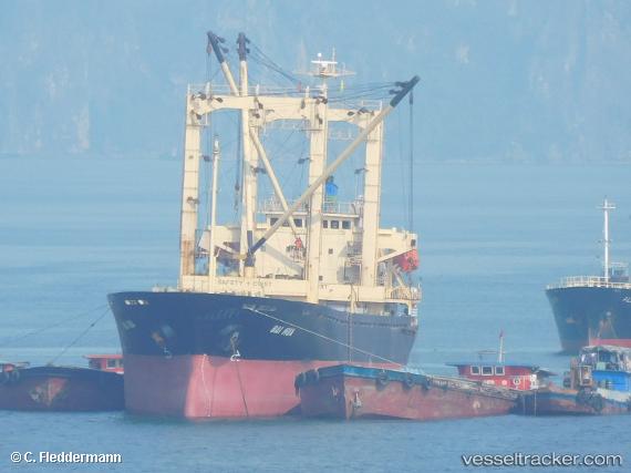
Vessel profile: MV.SAHABAT SENTOSA is a General Cargo with dimensions m x m.
This page combines live AIS, route history, probable destination signals, nearby traffic, and port activity for practical vessel monitoring.
The current position of vessel MV.SAHABAT SENTOSA is -4.10667 lat / 102.34333 lng. Updated: 2026-05-19 11:29:21 UTCNearest reference points:
- 67 nm S of Lahat
- Near Kertapati
- 36 nm SW of Exspan
Currently sailing under the flag of Indonesia ![]()
Details:
Live Vessel MV.SAHABAT SENTOSA Analytics (details, animations, etc.)
Recent AIS points (UTC):
2026-05-19 10:53:33 UTC · -4.14500, 102.38667 · SOG 4 kn · COG -1°2026-05-19 11:29:21 UTC · -4.10667, 102.34333 · SOG 5 kn · COG -1°
2026-05-19 11:29:21 UTC · -4.10667, 102.34333 · SOG 5 kn · COG -1°
2026-05-19 11:29:21 UTC · -4.10667, 102.34333 · SOG 5 kn · COG -1°