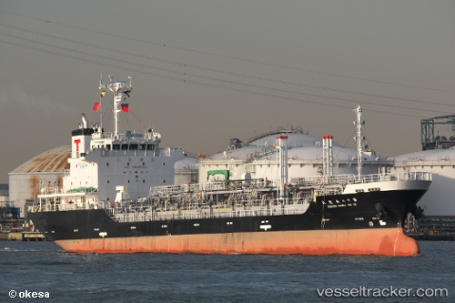
 IRENA XVII
Current Status
Where is the vessel?
IRENA XVII is currently in Near BIMA, based on AIS data received about 14h ago.
Latest AIS update:
Current position: 8.47604° S, 118.70681° E (Near BIMA)
Average speed (last 7 days): Loading…
Average speed (last 30 days): Loading…
Vessel profile: IRENA XVII is a Tanker with dimensions m x m.
This page combines live AIS, route history, probable destination signals, nearby traffic, and port activity for practical vessel monitoring.
The current position of vessel IRENA XVII is -8.47604 lat / 118.70681 lng. Updated: 2026-05-20 03:51:04 UTCNearest reference points:
- 30 nm N of BIMA
- 86 nm SE of BENETE
- 40 nm S of Waingapu, Sumba
Currently sailing under the flag of Indonesia ![]()
Details:
Live Vessel IRENA XVII Analytics (details, animations, etc.)
Recent AIS points (UTC):
2026-05-20 01:55:11 UTC · -8.40684, 118.69701 · SOG 12.2 kn · COG 218°2026-05-20 01:55:11 UTC · -8.40684, 118.69701 · SOG 12.2 kn · COG 218°
2026-05-20 03:08:01 UTC · -8.47604, 118.70682 · SOG 0 kn · COG 355°
2026-05-20 03:51:04 UTC · -8.47604, 118.70681 · SOG 0 kn · COG 355°