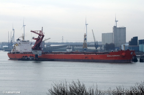
Santa Barbara
Current StatusWhere is the vessel?
Santa Barbara is currently in 28 nm NW of Hsin-chu, based on AIS data received about 14h ago.
Latest AIS update:
Current position: 25.13818° N, 120.59877° E (28 nm NW of Hsin-chu)
Average speed (last 7 days): Loading…
Average speed (last 30 days): Loading…
Vessel profile: Santa Barbara is a Bulk Carrier with dimensions 46m x 295m.
This page combines live AIS, route history, probable destination signals, nearby traffic, and port activity for practical vessel monitoring.
The current position of vessel Santa Barbara is 25.13818 lat / 120.59877 lng. Updated: 2026-05-18 23:23:58 UTCNearest reference points:
- 11 nm NW of Hukou
- Near Hsin-chu
- Near Hukou
Details:
Live Vessel Santa Barbara Analytics (details, animations, etc.)
Recent AIS points (UTC):
2026-05-18 20:20:42 UTC · 25.67353, 120.89534 · SOG 11.5 kn · COG 207°2026-05-18 22:14:16 UTC · 25.34332, 120.71540 · SOG 11.5 kn · COG 203°
2026-05-18 22:42:48 UTC · 25.25864, 120.67211 · SOG 12 kn · COG 204°
2026-05-18 23:23:58 UTC · 25.13818, 120.59877 · SOG 11.8 kn · COG 197°