 vesseltracker.com
 PHAIDRA
Current Status
Where is the vessel?
PHAIDRA is currently in 69 nm E of MADANG, based on AIS data received about 14h ago.
Latest AIS update:
Current position: 5.49667° S, 146.92332° E (69 nm E of MADANG)
Average speed (last 7 days): Loading…
Average speed (last 30 days): Loading…
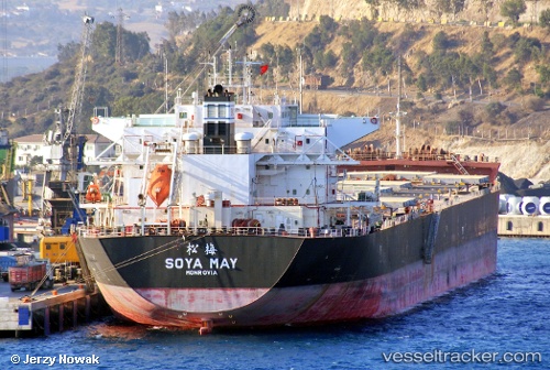
Vessel profile: PHAIDRA is a Bulk Carrier with dimensions 229m x 37m.
This page combines live AIS, route history, probable destination signals, nearby traffic, and port activity for practical vessel monitoring.
The current position of vessel PHAIDRA is -5.49667 lat / 146.92332 lng. Updated: 2026-05-18 02:04:30 UTCNearest reference points:
- Near Lae
- 42 nm E of Tami Island
Currently sailing under the flag of Marshall Islands ![]()
PHAIDRA built in 2013 year
Deadweight:
87146 tDetails:
Live Vessel PHAIDRA Analytics (details, animations, etc.)
Recent AIS points (UTC):
2026-05-17 21:47:38 UTC · -5.90716, 147.59344 · SOG 12.2 kn · COG 300°2026-05-17 22:07:31 UTC · -5.87167, 147.53500 · SOG 12 kn · COG -1°
2026-05-17 23:59:43 UTC · -5.69071, 147.22310 · SOG 10.1 kn · COG 298°
2026-05-18 02:04:30 UTC · -5.49667, 146.92332 · SOG 10 kn · COG -1°