 Bryanston
Current Status
Where is the vessel?
Bryanston is currently in 11 nm NW of Okono, based on AIS data received about 14h ago.
Latest AIS update:
Current position: 4.11007° N, 7.12807° E (11 nm NW of Okono)
Average speed (last 7 days): Loading…
Average speed (last 30 days): Loading…
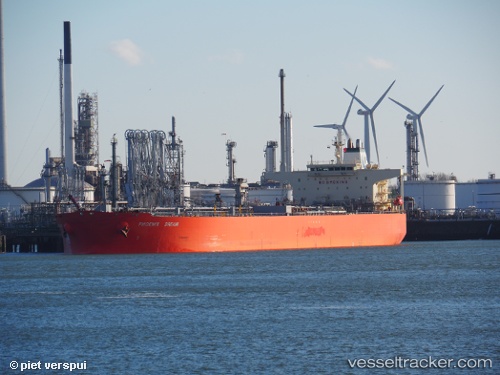
Vessel profile: Bryanston is a Crude Oil Tanker with dimensions 244m x 42m.
This page combines live AIS, route history, probable destination signals, nearby traffic, and port activity for practical vessel monitoring.
The current position of vessel Bryanston is 4.11007 lat / 7.12807 lng. Updated: 2026-05-18 22:50:51 UTCNearest reference points:
- 12 nm N of Okwori
- 21 nm SW of Bonny
- Near Ima
Currently sailing under the flag of Marshall Is ![]()
Bryanston built in 2005 year
Deadweight:
105784 tDetails:
Live Vessel Bryanston Analytics (details, animations, etc.)
Recent AIS points (UTC):
2026-05-18 19:11:38 UTC · 4.10981, 7.12836 · SOG 0.6 kn · COG 252°2026-05-18 20:24:46 UTC · 4.10904, 7.12811 · SOG 0 kn · COG 275°
2026-05-18 21:44:34 UTC · 4.10929, 7.12814 · SOG 0.2 kn · COG 269°
2026-05-18 22:50:51 UTC · 4.11007, 7.12807 · SOG 0 kn · COG 252°