 PATRIOTSHIP
Current Status
Where is the vessel?
PATRIOTSHIP is currently in Open sea (no nearby ports in database), based on AIS data received about 14h ago.
Latest AIS update:
Current position: 18.45692° S, 4.23355° E (Open sea (no nearby ports in database))
Average speed (last 7 days): Loading…
Average speed (last 30 days): Loading…
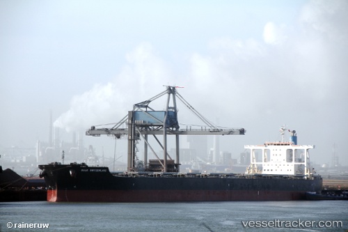
Vessel profile: PATRIOTSHIP is a Bulk Carrier with dimensions 45m x 289m.
This page combines live AIS, route history, probable destination signals, nearby traffic, and port activity for practical vessel monitoring.
The current position of vessel PATRIOTSHIP is -18.45692 lat / 4.23355 lng. Updated: 2026-05-19 17:20:55 UTCNearest reference points:
- Open sea (no nearby ports in database)
Currently sailing under the flag of Marshall Islands ![]()
PATRIOTSHIP built in 2010 year
Deadweight:
181709 tDetails:
Live Vessel PATRIOTSHIP Analytics (details, animations, etc.)
Recent AIS points (UTC):
2026-05-19 13:35:47 UTC · -17.92320, 3.80243 · SOG 11 kn · COG 142°2026-05-19 15:54:05 UTC · -18.25148, 4.06754 · SOG 10.6 kn · COG 141°
2026-05-19 16:18:34 UTC · -18.30939, 4.11449 · SOG 10.6 kn · COG 141°
2026-05-19 17:20:55 UTC · -18.45692, 4.23355 · SOG 10.6 kn · COG 143°