 ORCHID KEFALONIA
Current Status
Where is the vessel?
ORCHID KEFALONIA is currently in 15 nm W of PAITA, based on AIS data received about 14h ago.
Latest AIS update:
Current position: 5.05135° S, 81.36054° W (15 nm W of PAITA)
Average speed (last 7 days): Loading…
Average speed (last 30 days): Loading…
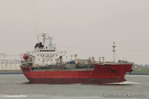
Vessel profile: ORCHID KEFALONIA is a Chemical/Oil Products Tanker with dimensions 145m x 24m.
This page combines live AIS, route history, probable destination signals, nearby traffic, and port activity for practical vessel monitoring.
The current position of vessel ORCHID KEFALONIA is -5.05135 lat / -81.36054 lng. Updated: 2026-05-18 17:37:01 UTCNearest reference points:
- Near PAITA
- 75 nm SW of Talara
Currently sailing under the flag of Marshall Islands ![]()
ORCHID KEFALONIA built in 2008 year
Deadweight:
19971 tDetails:
Live Vessel ORCHID KEFALONIA Analytics (details, animations, etc.)
Recent AIS points (UTC):
2026-05-18 13:42:06 UTC · -4.34307, -81.68840 · SOG 12.8 kn · COG 160°2026-05-18 15:41:10 UTC · -4.71594, -81.54433 · SOG 11.8 kn · COG 157°
2026-05-18 16:41:16 UTC · -4.89767, -81.46407 · SOG 11.9 kn · COG 156°
2026-05-18 17:37:01 UTC · -5.05135, -81.36054 · SOG 12.4 kn · COG 120°