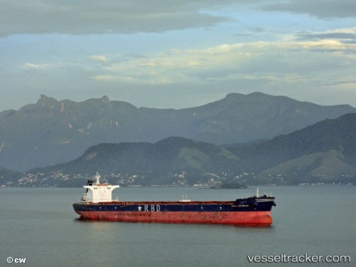
 RIO DULCE
Current Status
Where is the vessel?
RIO DULCE is currently in Near WAILINGDING ISLAND, based on AIS data received about 14h ago.
Latest AIS update:
Current position: 21.99310° N, 114.00712° E (Near WAILINGDING ISLAND)
Average speed (last 7 days): Loading…
Average speed (last 30 days): Loading…
Vessel profile: RIO DULCE is a Bulk Carrier with dimensions m x m.
This page combines live AIS, route history, probable destination signals, nearby traffic, and port activity for practical vessel monitoring.
The current position of vessel RIO DULCE is 21.99310 lat / 114.00712 lng. Updated: 2026-05-19 10:18:33 UTCNearest reference points:
- Near WAILINGDING ISLAND
- 15 nm S of WAILINGDING ISLAND
- Near Cheung Sha Wan
Currently sailing under the flag of Marshall Islands ![]()
Details:
Live Vessel RIO DULCE Analytics (details, animations, etc.)
Recent AIS points (UTC):
2026-05-19 05:33:32 UTC · 21.99456, 114.00329 · SOG 0.4 kn · COG 95°2026-05-19 07:24:36 UTC · 21.99316, 114.00817 · SOG 0 kn · COG 311°
2026-05-19 07:33:36 UTC · 21.99304, 114.00816 · SOG 0 kn · COG 312°
2026-05-19 10:18:33 UTC · 21.99310, 114.00712 · SOG 0.1 kn · COG 350°