 MAYFAIR
Current Status
Where is the vessel?
MAYFAIR is currently in Near SIKKA, based on AIS data received about 14h ago.
Latest AIS update:
Current position: 22.49476° N, 69.84256° E (Near SIKKA)
Average speed (last 7 days): Loading…
Average speed (last 30 days): Loading…
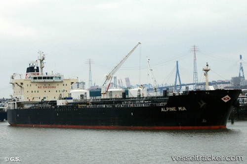
Vessel profile: MAYFAIR is a Oil/Chemical Tanker with dimensions m x m.
This page combines live AIS, route history, probable destination signals, nearby traffic, and port activity for practical vessel monitoring.
The current position of vessel MAYFAIR is 22.49476 lat / 69.84256 lng. Updated: 2026-05-19 19:46:38 UTCNearest reference points:
- Near SIKKA
- Near Sika
- Near Rozi
Currently sailing under the flag of Marshall Islands ![]()
Details:
Live Vessel MAYFAIR Analytics (details, animations, etc.)
Recent AIS points (UTC):
2026-05-19 16:15:43 UTC · 22.51084, 69.82322 · SOG 6.2 kn · COG 136°2026-05-19 18:10:24 UTC · 22.49476, 69.84256 · SOG 0 kn · COG 311°
2026-05-19 19:43:29 UTC · 22.49476, 69.84257 · SOG 0 kn · COG 311°
2026-05-19 19:46:38 UTC · 22.49476, 69.84256 · SOG 0 kn · COG 311°