 BARCARENA
Current Status
Where is the vessel?
BARCARENA is currently in 134 nm NE of Enmore, based on AIS data received about 15h ago.
Latest AIS update:
Current position: 8.44946° N, 56.49681° W (134 nm NE of Enmore)
Average speed (last 7 days): Loading…
Average speed (last 30 days): Loading…
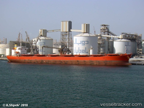
Vessel profile: BARCARENA is a Cabu Carrier with dimensions m x m.
This page combines live AIS, route history, probable destination signals, nearby traffic, and port activity for practical vessel monitoring.
The current position of vessel BARCARENA is 8.44946 lat / -56.49681 lng. Updated: 2026-05-18 20:03:04 UTCNearest reference points:
- 57 nm NE of Adventure
- 38 nm NW of Jarikaba
Currently sailing under the flag of Marshall Islands ![]()
Details:
Live Vessel BARCARENA Analytics (details, animations, etc.)
Recent AIS points (UTC):
2026-05-18 17:13:11 UTC · 8.70239, -56.88324 · SOG 9.6 kn · COG -1°2026-05-18 17:23:21 UTC · 8.68491, -56.85909 · SOG 9.6 kn · COG -1°
2026-05-18 19:18:34 UTC · 8.50956, -56.60182 · SOG 9.7 kn · COG 115°
2026-05-18 20:03:04 UTC · 8.44946, -56.49681 · SOG 9.9 kn · COG 119°