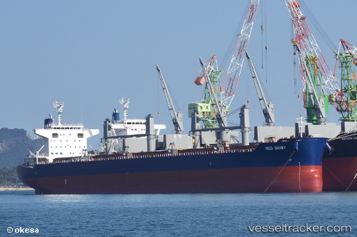
 NORD UTOPIA
Current Status
Where is the vessel?
NORD UTOPIA is currently in 79 nm S of Souillac, based on AIS data received about 14h ago.
Latest AIS update:
Current position: 21.81798° S, 57.29368° E (79 nm S of Souillac)
Average speed (last 7 days): Loading…
Average speed (last 30 days): Loading…
Vessel profile: NORD UTOPIA is a Cargo with dimensions m x m.
This page combines live AIS, route history, probable destination signals, nearby traffic, and port activity for practical vessel monitoring.
The current position of vessel NORD UTOPIA is -21.81798 lat / 57.29368 lng. Updated: 2026-05-22 01:50:16 UTCNearest reference points:
- 61 nm NW of Al Azaiba
- Near Port Louis
- 129 nm W of Al Azaiba
Currently sailing under the flag of Marshall Islands ![]()
Details:
Live Vessel NORD UTOPIA Analytics (details, animations, etc.)
Recent AIS points (UTC):
2026-05-21 20:18:43 UTC · -22.30832, 56.23099 · SOG 12 kn · COG 61°2026-05-21 22:04:12 UTC · -22.15651, 56.57372 · SOG 12 kn · COG 64°
2026-05-21 22:18:22 UTC · -22.13674, 56.61994 · SOG 11.7 kn · COG 63°
2026-05-22 01:50:16 UTC · -21.81798, 57.29368 · SOG 11.8 kn · COG 61°