 LYRA M
Current Status
Where is the vessel?
LYRA M is currently in Near Cruce Arinaga, based on AIS data received about 14h ago.
Latest AIS update:
Current position: 27.82462° N, 15.22836° W (Near Cruce Arinaga)
Average speed (last 7 days): Loading…
Average speed (last 30 days): Loading…
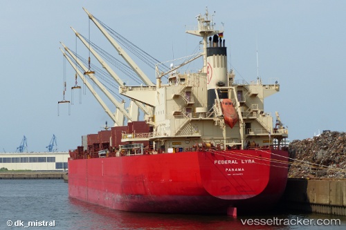
Vessel profile: LYRA M is a Bulk Carrier with dimensions m x m.
This page combines live AIS, route history, probable destination signals, nearby traffic, and port activity for practical vessel monitoring.
The current position of vessel LYRA M is 27.82462 lat / -15.22836 lng. Updated: 2026-05-20 00:11:29 UTCNearest reference points:
- Near TALIARTE
- Near Las Palmas de Gran Canaria
- Near Las Palmas
Currently sailing under the flag of Marshall Islands ![]()
Details:
Live Vessel LYRA M Analytics (details, animations, etc.)
Recent AIS points (UTC):
2026-05-19 19:50:01 UTC · 27.09727, -15.59231 · SOG 11.4 kn · COG 24°2026-05-19 22:14:09 UTC · 27.50117, -15.37024 · SOG 11 kn · COG 25°
2026-05-19 23:08:40 UTC · 27.65075, -15.28963 · SOG 10.6 kn · COG 23°
2026-05-20 00:11:29 UTC · 27.82462, -15.22836 · SOG 11.4 kn · COG 359°