 GOUSEA
Current Status
Where is the vessel?
GOUSEA is currently in 188 nm S of Lome, based on AIS data received about 15h ago.
Latest AIS update:
Current position: 3.04797° N, 1.82592° E (188 nm S of Lome)
Average speed (last 7 days): Loading…
Average speed (last 30 days): Loading…
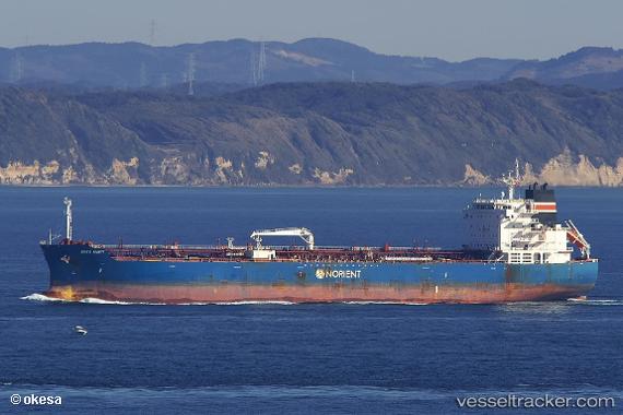
Vessel profile: GOUSEA is a Tanker with dimensions m x m.
This page combines live AIS, route history, probable destination signals, nearby traffic, and port activity for practical vessel monitoring.
The current position of vessel GOUSEA is 3.04797 lat / 1.82592 lng. Updated: 2026-05-20 05:56:07 UTCNearest reference points:
- 66 nm N of SAO LUIS
Currently sailing under the flag of Marshall Islands ![]()
Details:
Live Vessel GOUSEA Analytics (details, animations, etc.)
Recent AIS points (UTC):
2026-05-20 02:08:07 UTC · 3.02042, 2.62652 · SOG 12.4 kn · COG 272°2026-05-20 04:04:24 UTC · 3.04021, 2.22042 · SOG 12.7 kn · COG 274°
2026-05-20 04:42:23 UTC · 3.04333, 2.08500 · SOG 12 kn · COG -1°
2026-05-20 05:56:07 UTC · 3.04797, 1.82592 · SOG 12.6 kn · COG 272°